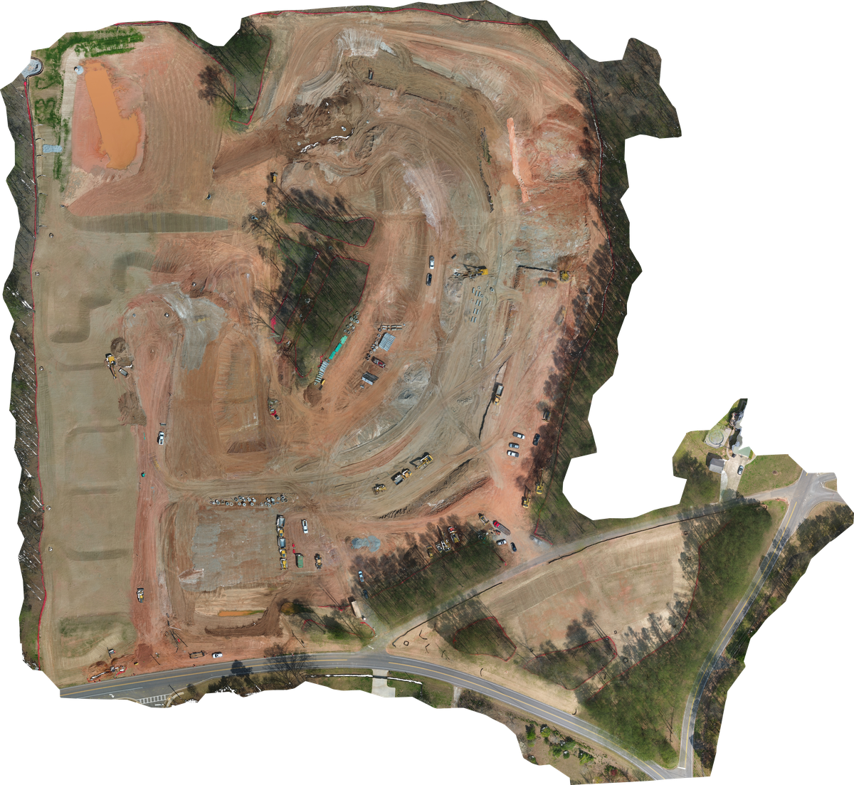
Orthomosaic Mapping
High-resolution, geometrically corrected aerial maps of your entire site — updated on a schedule that matches your project rhythm. Whether weekly, bi-weekly, or at major milestones, you'll always have an accurate, current top-down view of the work. Our construction drone mapping covers active sites throughout Metro Atlanta and North Georgia.
Delivered as GeoTIFF and web-ready formats, our orthomosaic mapping Georgia clients depend on integrates seamlessly with your existing project management tools, design platforms, and reporting workflows.
Progress Documentation
Scheduled aerial photography creates a comprehensive, chronological visual record of your project. From initial site prep through structural framing, envelope completion, and sitework finish — every milestone is captured and catalogued. Our drone progress monitoring gives Atlanta-area construction teams a reliable visual record at every stage of the build.
Ideal for owner reporting, investor updates, dispute documentation, and building a permanent project archive that tells the full story of the build.
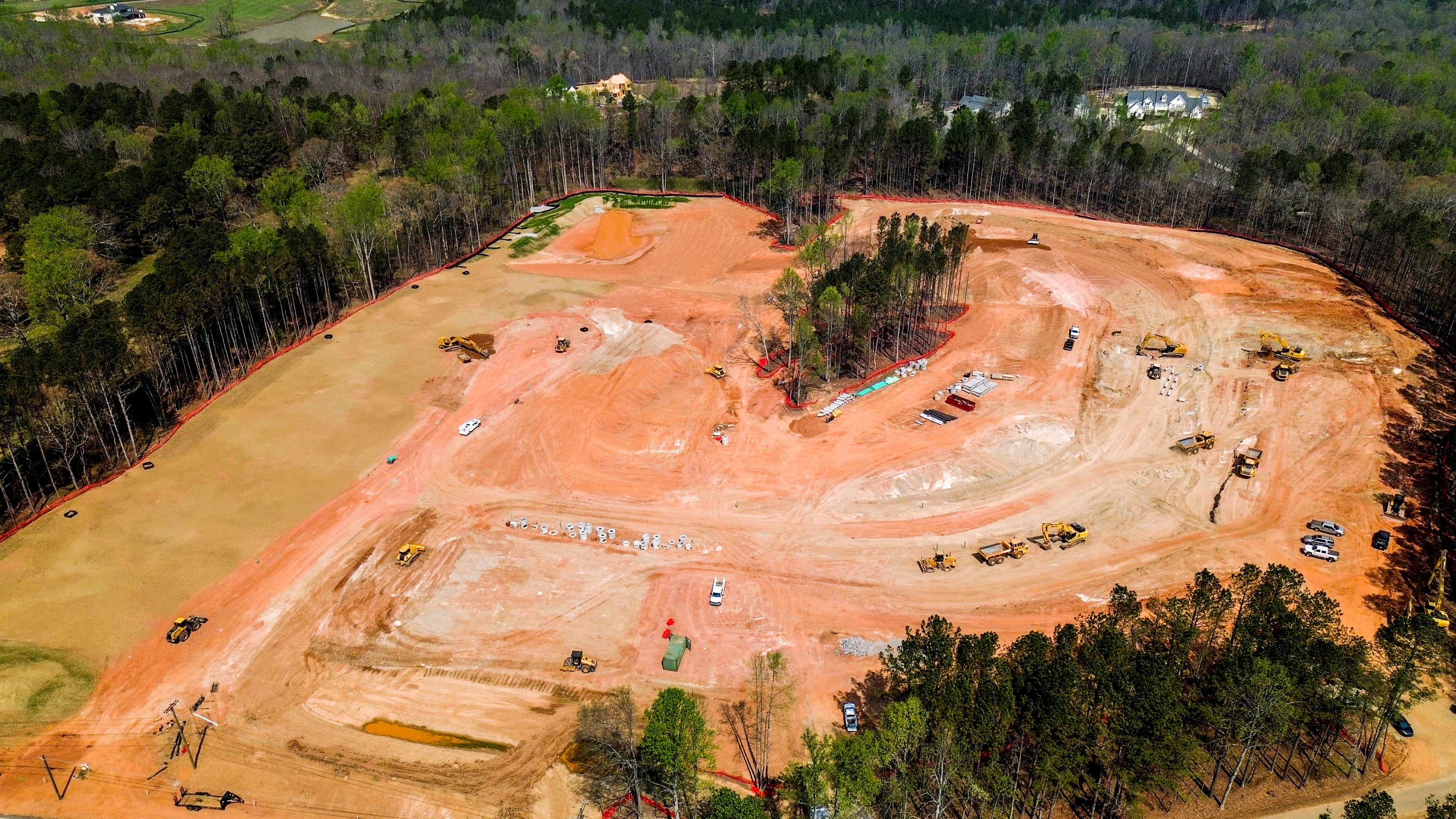
Aerial Photography & Video
High-quality aerial imagery and cinematic video for marketing materials, project presentations, RFP packages, and company portfolios. As a trusted aerial mapping Atlanta provider, we capture the scale, complexity, and craftsmanship of your work in a way that ground-level photography simply can't.
Deliverables are edited and color-graded for professional use, ready for your website, LinkedIn, presentations, or printed materials.